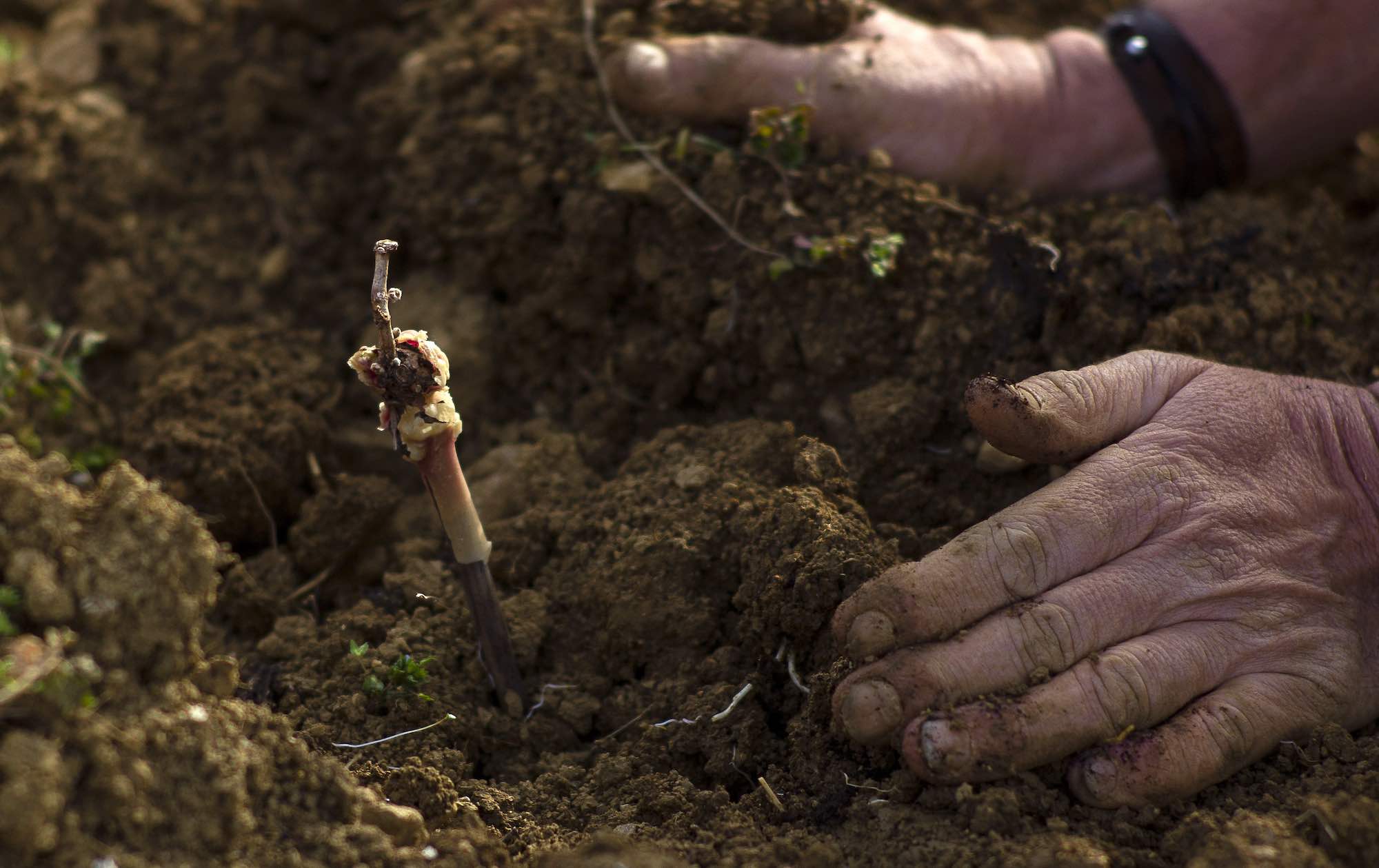
Beyond age-old tradition,
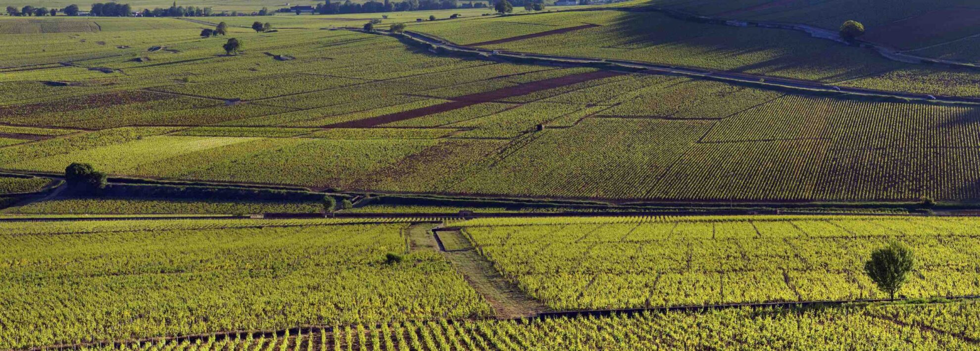
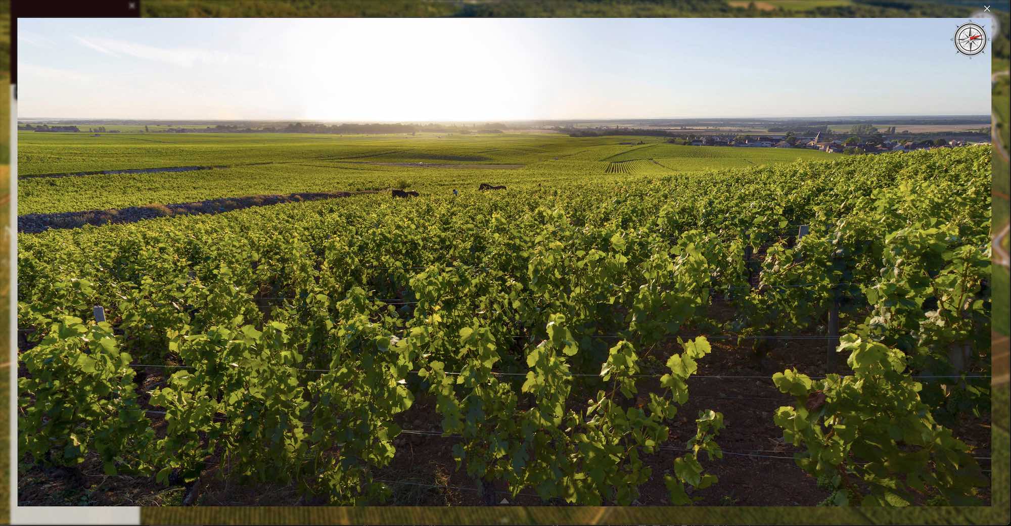
it's the richness of the terroir that gives a wine its distinctive taste.
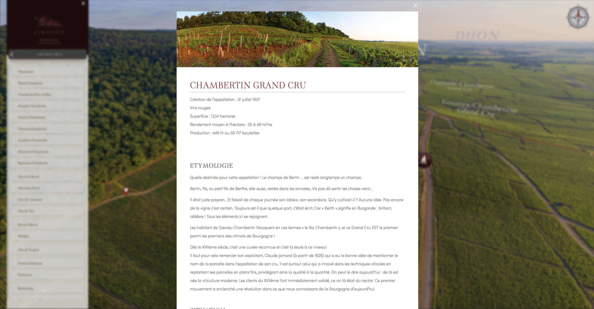
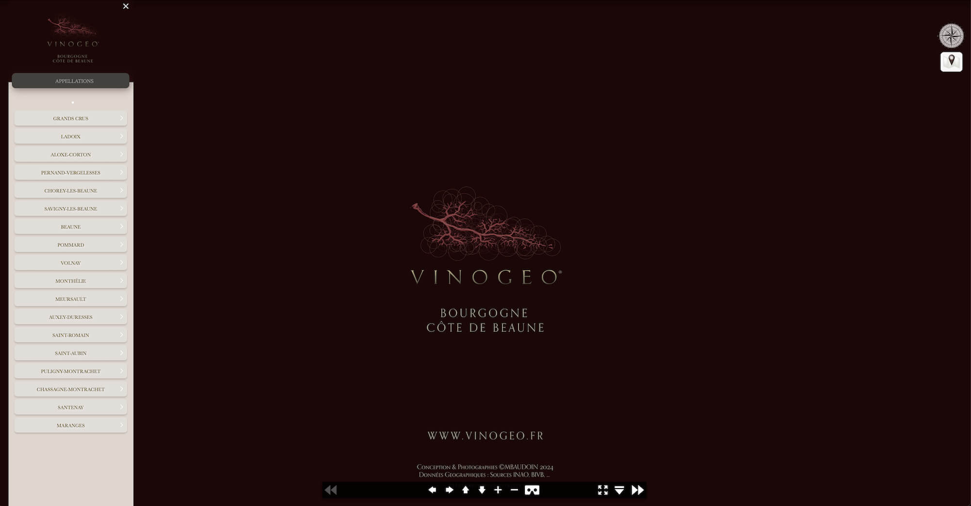
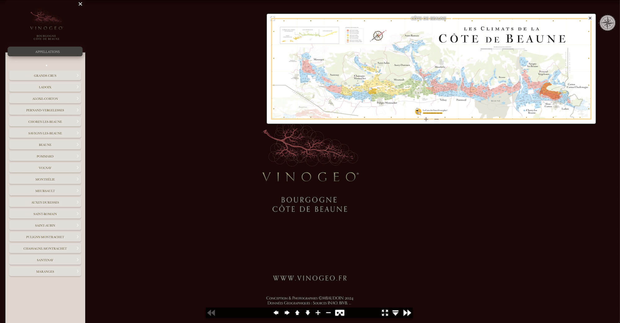
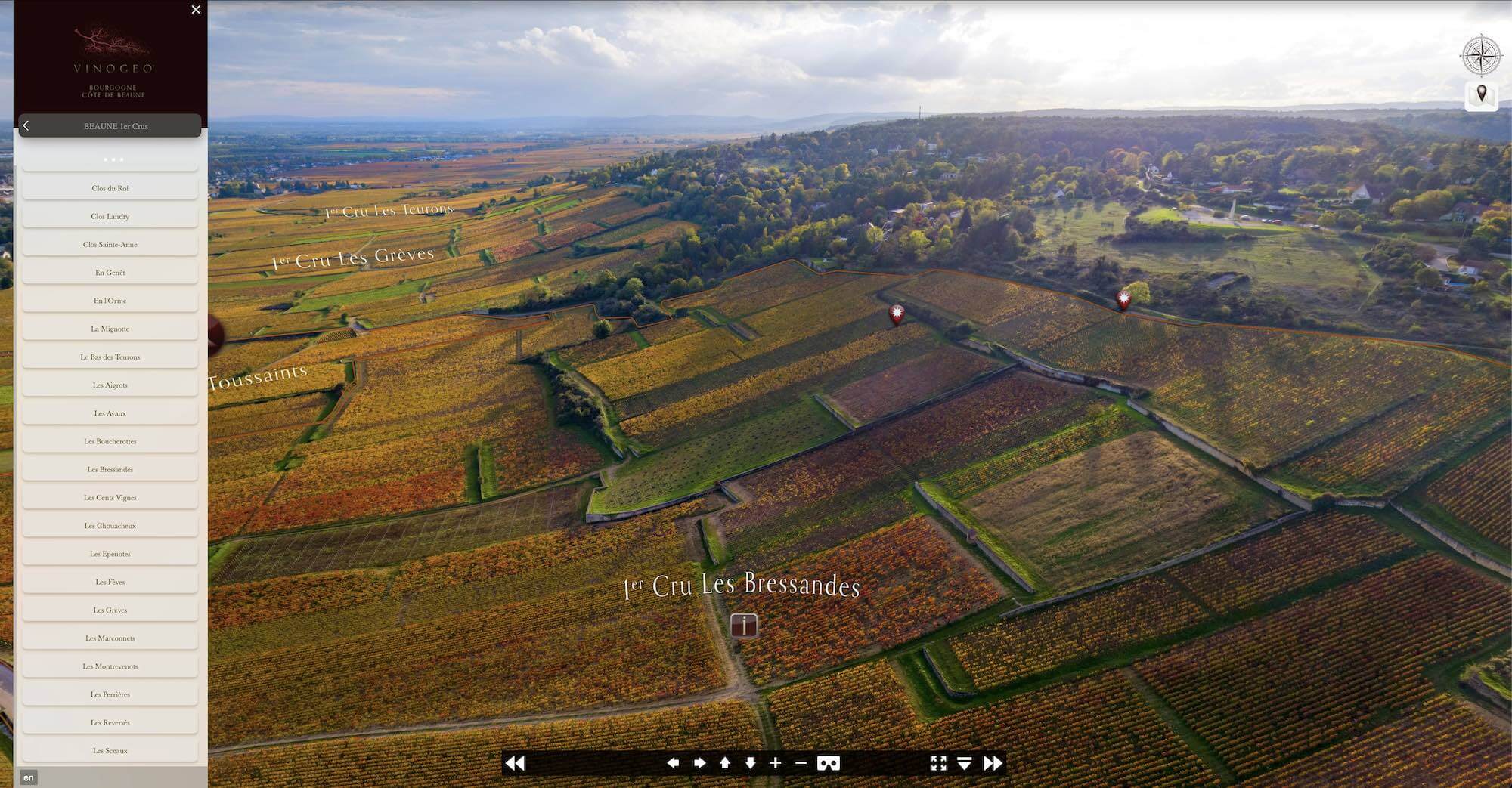
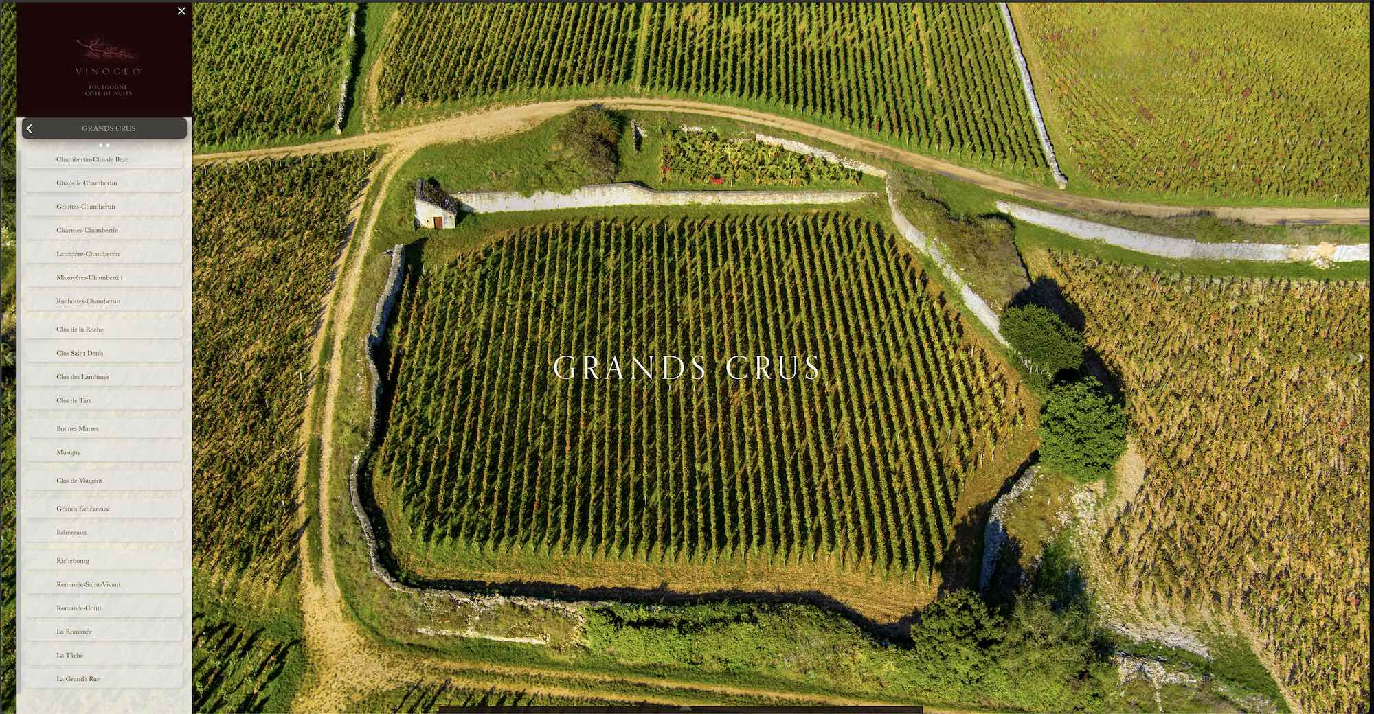
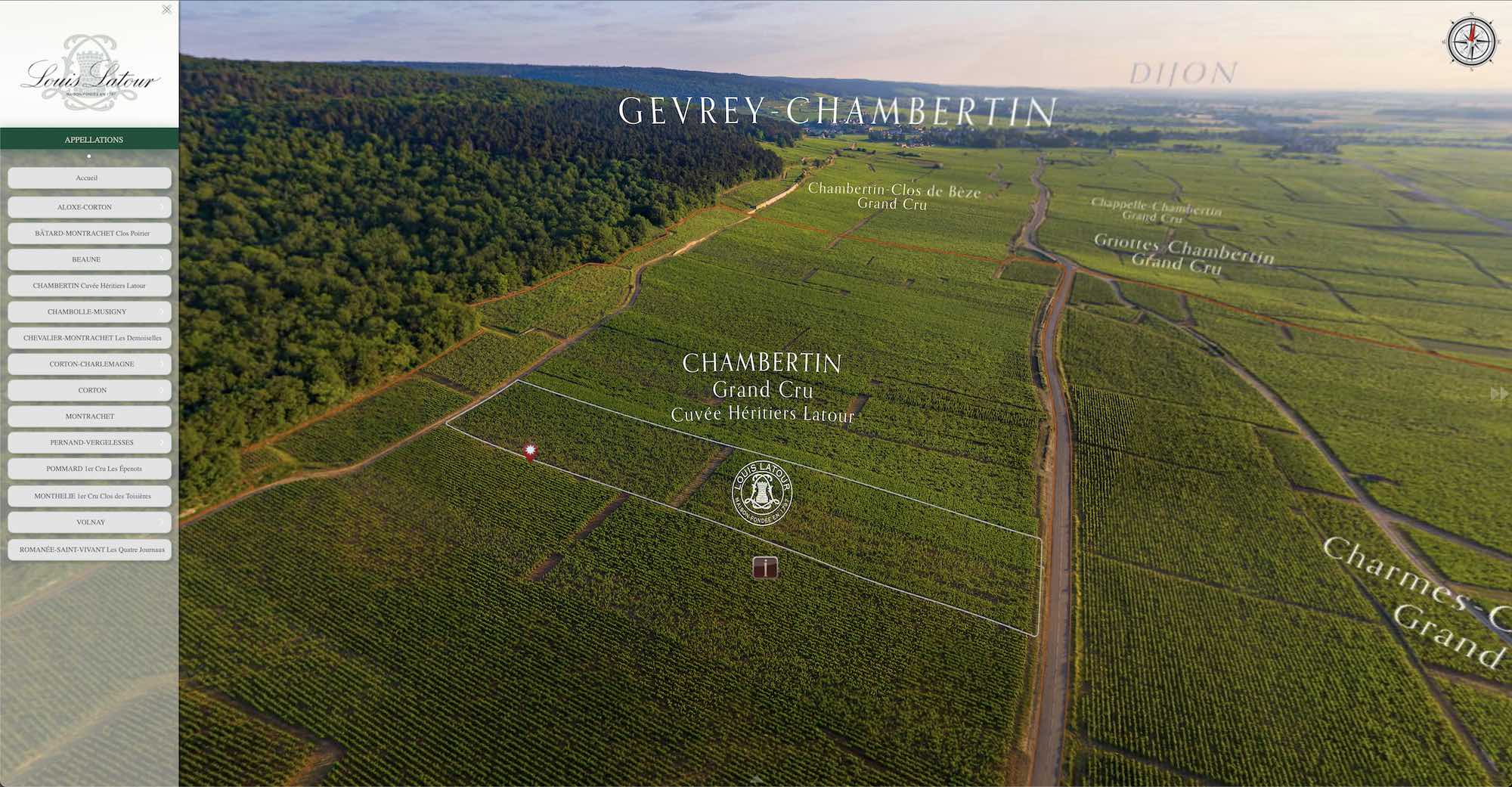
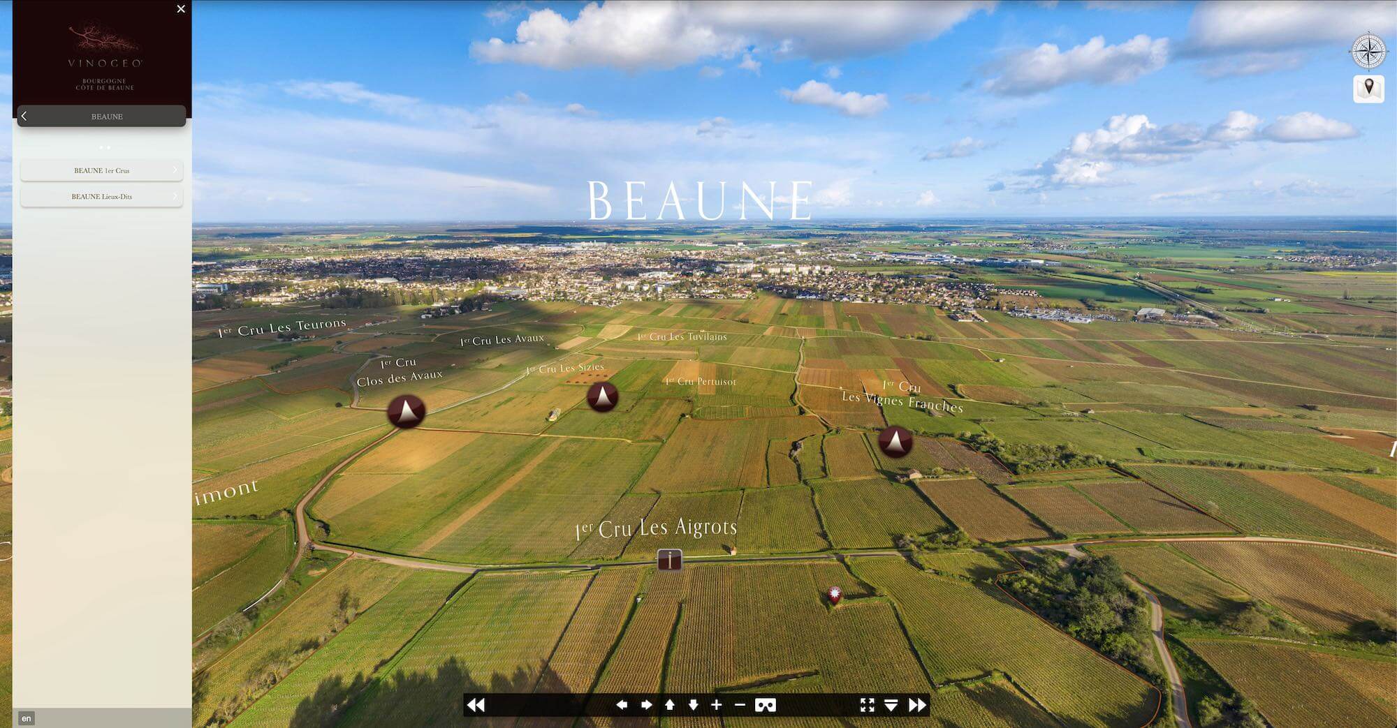
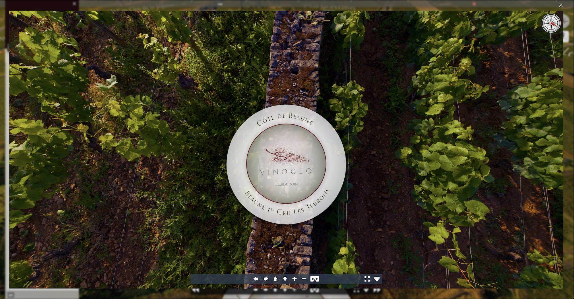
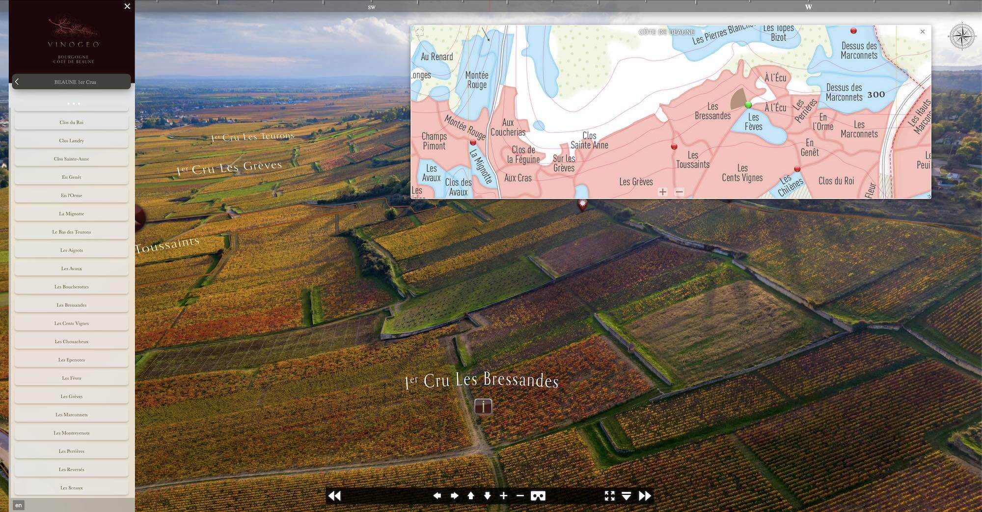
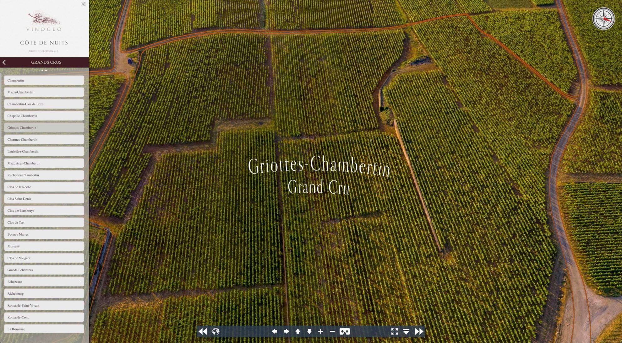
Today's communication media offer a pictorial explanation of how the hundred or so appellations are divided into "lieux-dits" or "climats".
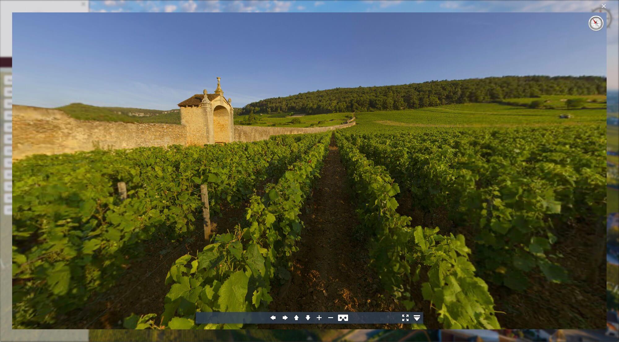
The terroir is a concrete space that can be mapped through multiple factors: geography, pedology, geology, geomorphology, hydrology, climatology, exposure. It also has a cultural dimension that directly reflects the human society that exploits it.
Today, the quality of digital imagery and the speed at which it can be broadcast mean that it can be immersed from smartphones to ultra-high-definition screens.
THESE TECHNOLOGIES HAVE GIVEN RISE TO THE VINOGEO ® TERROIR DESCRIPTION CONCEPT.
Vinogeo Bourgogne is presented in Beta version,
with access to the Chablis, Côte de Nuits, Côte de Beaune and Côte Chalonnaise regions.
The content is constantly evolving, with the introduction of geolocated maps scheduled for September, and the gradual addition of all the regions that make up the Burgundy vineyards.
The 360° views on the ground are enhanced by images captured during the 2025 season,
and all editorial content, notably the appellation sheets, evolves regularly.
Already tried and tested in versions designed for prestigious estates,
Vinogeo is now in the development phase, demonstrating the full extent of its potential for objective reading and better understanding of winegrowing landscapes.
Professionals in the industry, Burgundy wine enthusiasts, wine tourists,
we are now offering you a trial subscription to this service.
Annual packages will also be available to meet different needs.
Subscribe to our newsletter to keep up to date with all the latest developments on the platform.
Enjoy your visit!
Whether you're a company, a school or a museum, we tailor our offers to meet your needs.